File:Map-OntineCapital.png
Jump to navigation
Jump to search
Size of this preview: 550 × 599 pixels. Other resolution: 734 × 800 pixels.
Original file (734 × 800 pixels, file size: 84 KB, MIME type: image/png)
Summary
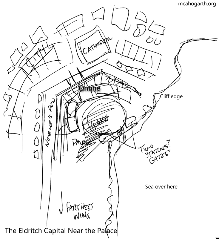
Map of Ontine and the surrounding area in the capital.
File history
Click on a date/time to view the file as it appeared at that time.
| Date/Time | Thumbnail | Dimensions | User | Comment | |
|---|---|---|---|---|---|
| current | 15:47, 7 June 2020 | | 734 × 800 (84 KB) | Jaguar (talk | contribs) | Map of Ontine and the surrounding area in the capital. |
You cannot overwrite this file.
File usage
The following page uses this file: